
Page 7 - RNT-C08
P. 7
The HISTORY of REDDITCH New Town
The statutory and voluntary social services in the town would also require accommodation
and some of this could be provided on the basis of joint use.
The Vision - Outdoor Facilities
Outdoor recreation facilities will take various forms; playing fields - public and private,
golf courses, parkland, wooded areas, walks and children's playgrounds.
There were playing fields at Abbey Stadium, Redditch Rovers Football Club and the
Redditch Cricket Club, and various other areas of public open space. Consideration should
be given to adopting, where practical, for playing fields the national standard of 3 acres
per 1,000 population. On this basis, about 250 acres of land would be required for playing
fields including any arrangements that are made for dual use of school facilities.
The satisfaction of players and clubs was more likely to be achieved by good provision of
changing accommodation and by grounds which are level, well drained and well
maintained.
Redditch Golf Club, with a membership of about 400 had a course adjoining Pitcher Oak
Wood on a site of about 68 acres. The course was well situated to the centre of Redditch
but too short, and a new road was proposed which would reduce the number of holes. A
new course should be provided and a site of 150 acres adjoining Downsell Wood and
Walkwood Coppice had been reserved.
Another golf course had also been included in the Basic Plan on a site to the north of the
town near Beoley which would help to keep open a large area in the northern part of the
Designated Area.
For other open space, parks, playgrounds and woodlands with public access, a provision
of 6 acres per 1,000 population was proposed, giving a total of about 500 acres of land
for this purpose. Of this, 1 acre per 1,000 population should be available for children's
play spaces of all types.
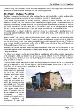
The main open space was to be located along the valley of the River Arrow in a continuous
park area extending from Abbey Stadium and the Bordesley Abbey site in the north to
Washford Mill at the southern boundary of the town.
The framework of the
Arrow Park was provided
by the river, the minor
streams and other water
areas of the three
proposed lakes formed
partly by excavation and
partly by tipping surplus
excavated soil. The park
would be in three sections.
The upper area would
form a general zone of
active recreational use for
organised sports,
including those attracting
large numbers of
spectators. It was well
Page: 207